
The Evolution of GIS Mapping: Key Trends and Technologies Shaping 2026
In today’s data-driven world, the Geographical Information System (GIS) has become essential for the development of telecommunications, logistics, and infrastructure across various industries, including urban planning and environmental management. Whether you are managing city-wide Fiber rollouts or planning a site selection for telecom towers, exact GIS mapping and GIS analysis are required.
However, choosing the right GIS mapping service provider can be challenging. With many vendors offering similar solutions, how do you ensure that you’re making the right choice?
Your ideal provider should experience hands-on geographical information systems as well as GIS tools and technologies such as ArcGIS, QGIS, and MapInfo. But the even more important thing is that they should demonstrate domain-specific experience in telecommunications, utilities, transport, or urban development.
Why it matters: GIS is not a size fit. For example, telecom network planning requires exact spatial data layering, route optimization, and asset mapping. Provider such as ASE CAD design, with proven expertise in engineering and telecom GIS solutions, brings valuable insight into your project from day one.
Key takeaway: Look for a provider with both technical GIS capabilities and real-world project experience in your industry.
The exact GIS mapping begins with reliable data. The correct provider should prioritize data integrity, accuracy, and stability throughout every step — from data capture and digitization to post-processing and analysis.
Ask about their quality control procedures. Do they use satellite imagery, aerial photography, lidar, or GPS surveys? Do they validate data layers against real-world benchmarks? What standards do they follow to ensure accurate and reliable output?
The provider should offer a high-quality GIS dataset with strong verification and QA protocol that reduces errors and ensures the accuracy of decision-making.
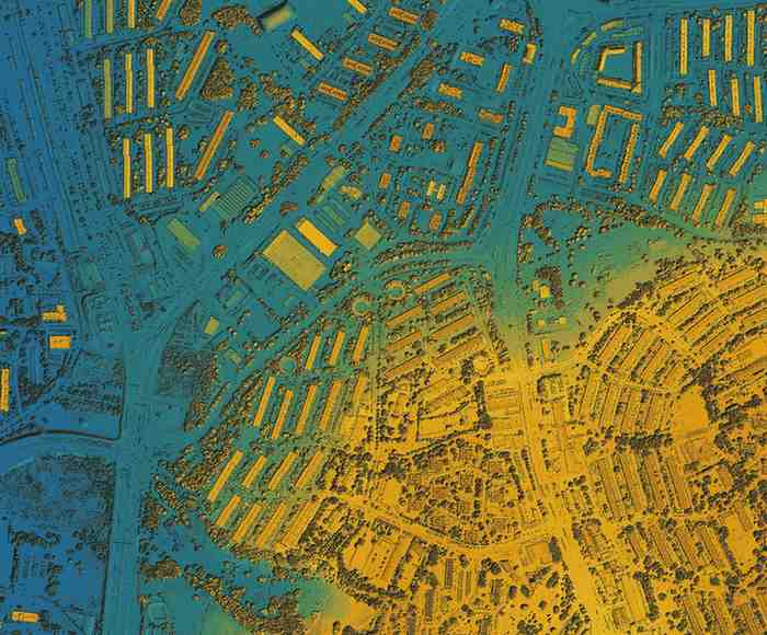
Basic mapping is just the beginning. The real power of GIS services lies in spatial analysis and future modeling. Choose a provider who provides advanced GIS analysis facilities like:
In addition, visual dashboards, 2D/3D maps, and adaptable layers must be part of their offer to help you understand complex spatial data.
Key takeaway: A good GIS partner’s raw data should be converted into meaningful, actionable insights with state-of-the-art visualization tools.
Each project has unique geographical, technical, and operating requirements. This is why flexibility is important in solution design. The best GIS mapping service providers offer tailored workflows and tools — whether you need custom map layers, region-specific analysis, or integration with CAD, BIM, or enterprise systems.
Scalability also matters. Your GIS solution should grow with your business from small pilot studies to multi-field rollouts. Cloud-based GIS services, scalable databases, and modular designs make it easy to handle large datasets as your requirements develop.
Choose a provider that provides adaptable, scalable GIS solution that suits your specific project goals.
Your GIS partner should act as an extension of your team. Transparent communication, responsible support, and associate project management are essential symptoms of a reliable provider.
At ASE CAD Design, we believe in building long-term relationships through active communication and reliable support for customers in 10+ countries to make smarter spatial decisions.
Key takeaway: The right provider offers more than just services — they offer partnership, support, and collaboration at every stage.
You may also like: “GIS Technology for Effective Environmental Conservation”
With over 20 years of experience in engineering design and spatial data management, ASE CAD Design offers industry-leading GIS mapping services tailored to your business needs. Our solutions cover:
Whether you’re a telecom company planning infrastructure or a city authority mapping public assets, our GIS team delivers high-accuracy data and insight-driven solutions that empower smart decision-making.
Investing in GIS mapping is a strategic step – but only when you choose the right partner. From data accuracy and adaptation to cooperation and advanced analytics, these five features can help you filter the best from the rest.
Ready to upgrade your spatial intelligence? Partners with ASE Structure design for world-class GIS services that support your business goals with accuracy and professionalism.
WhatsApp Us